
As a general rule, the higher you go in Los Angeles, the higher the rents. The hills between Hollywood and the San Fernando Valley are very expensive real estate. Our place, just south of Franklin in the beginning of the flats is a lot cheaper; right across Franklin the prices begin to skyrocket, in just one block.

There are exceptions. In the ‘60s I lived in Echo Park, and rents were cheap, even though most of the streets were steep and there were some terrific views. It’s not cheap there anymore. Actually no place in Los Angeles is really cheap, a terrible shack in Watts or Compton can list for $300,000 or more, but it’s a relative thing. Usually, you pay a premium for the view.

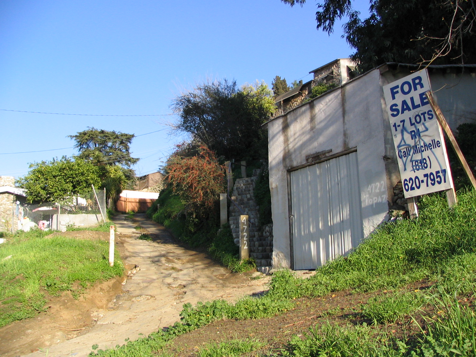
El Sereno seems to be one of the exceptions. Along the east end of Broadway there are hills to the north and south, and some really junky houses perched up there. You almost expect to hear chickens scratching around and clucking. It’s a glimpse of the old LA, from back in the ‘40s and ‘50s, when land was still affordable for working people. Many of these houses are that old, or older. I get the impression that a lot of them are being held onto by the original owners or their descendants, maybe just barely able to pay the taxes and wondering if they finally ought to sell. It’s still possible to buy a house with a fine view here for around a quarter of a million dollars. Bring a hammer and nails and some paint, though, and maybe a tarp to stretch over the roof on rainy days.
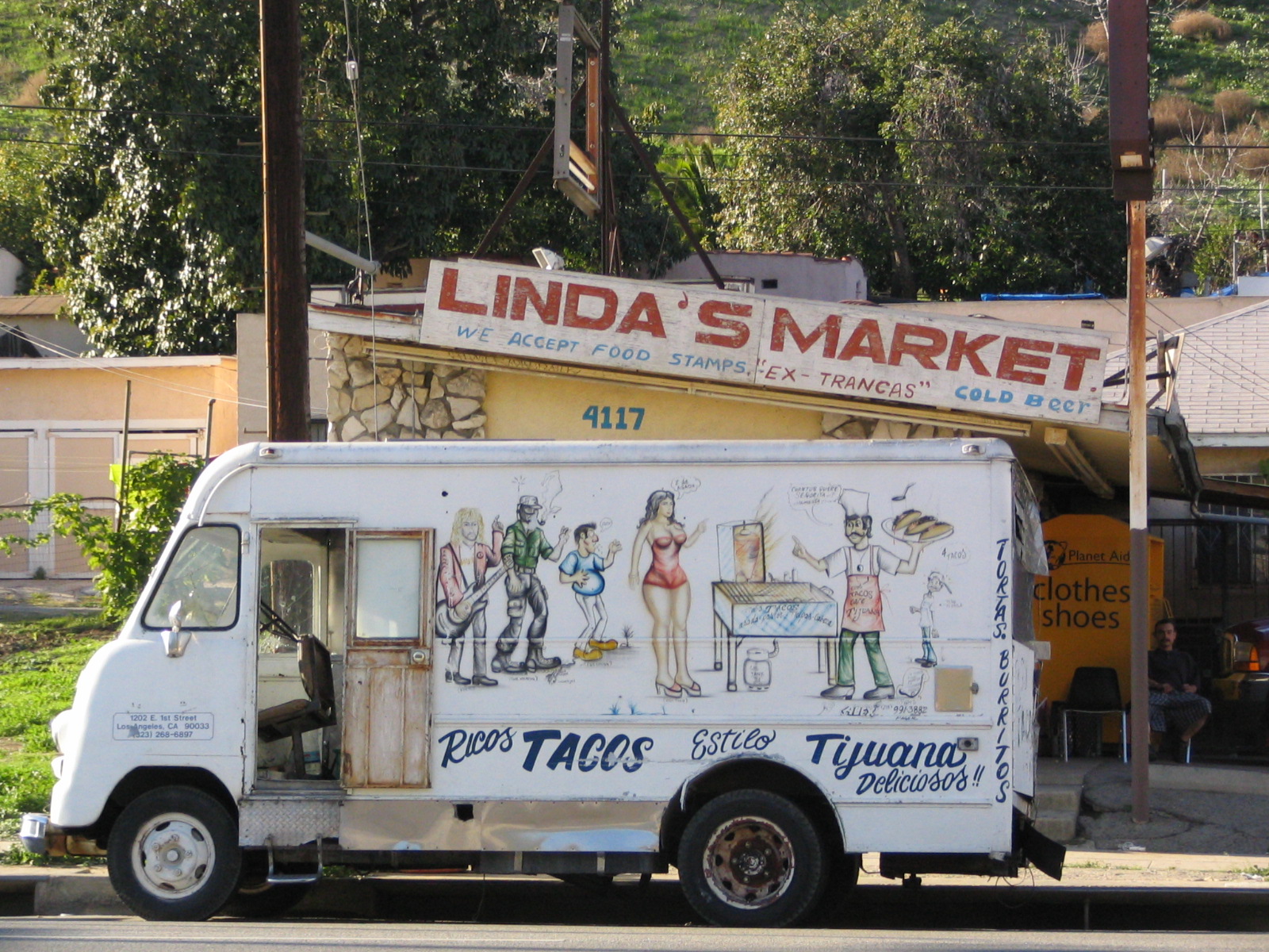
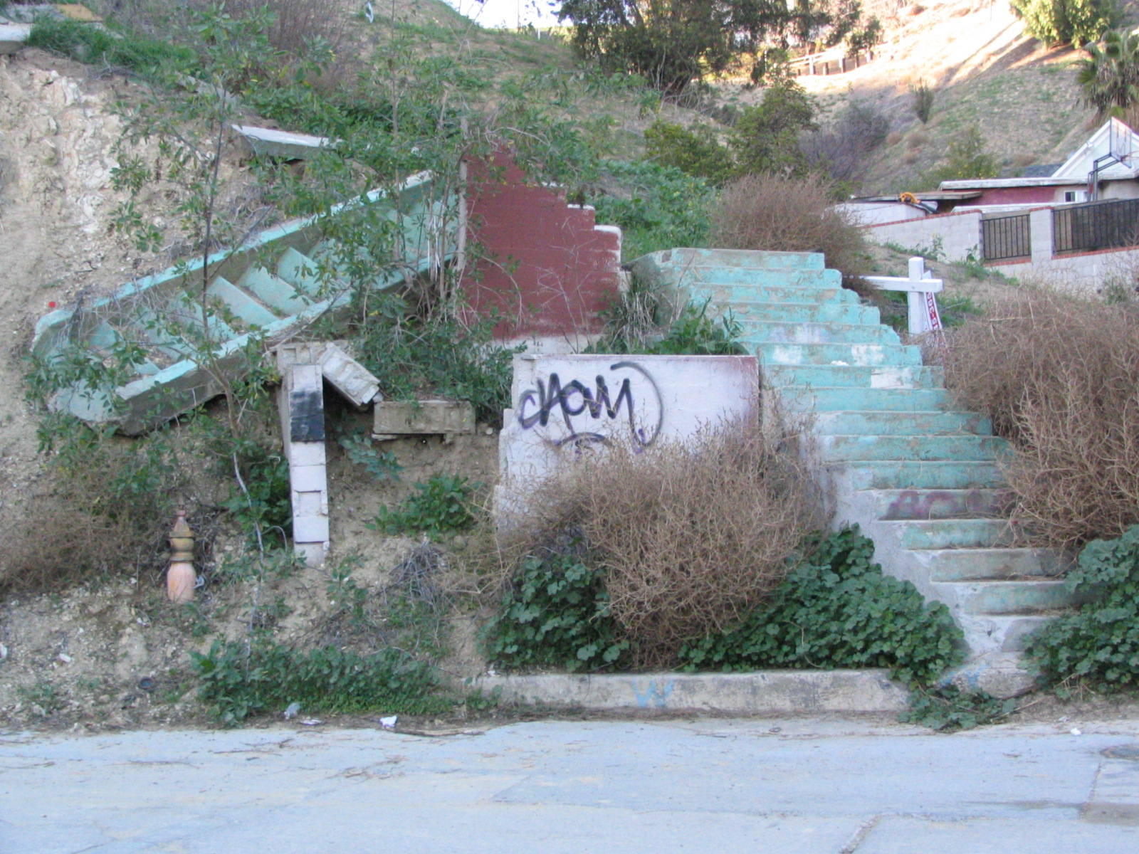
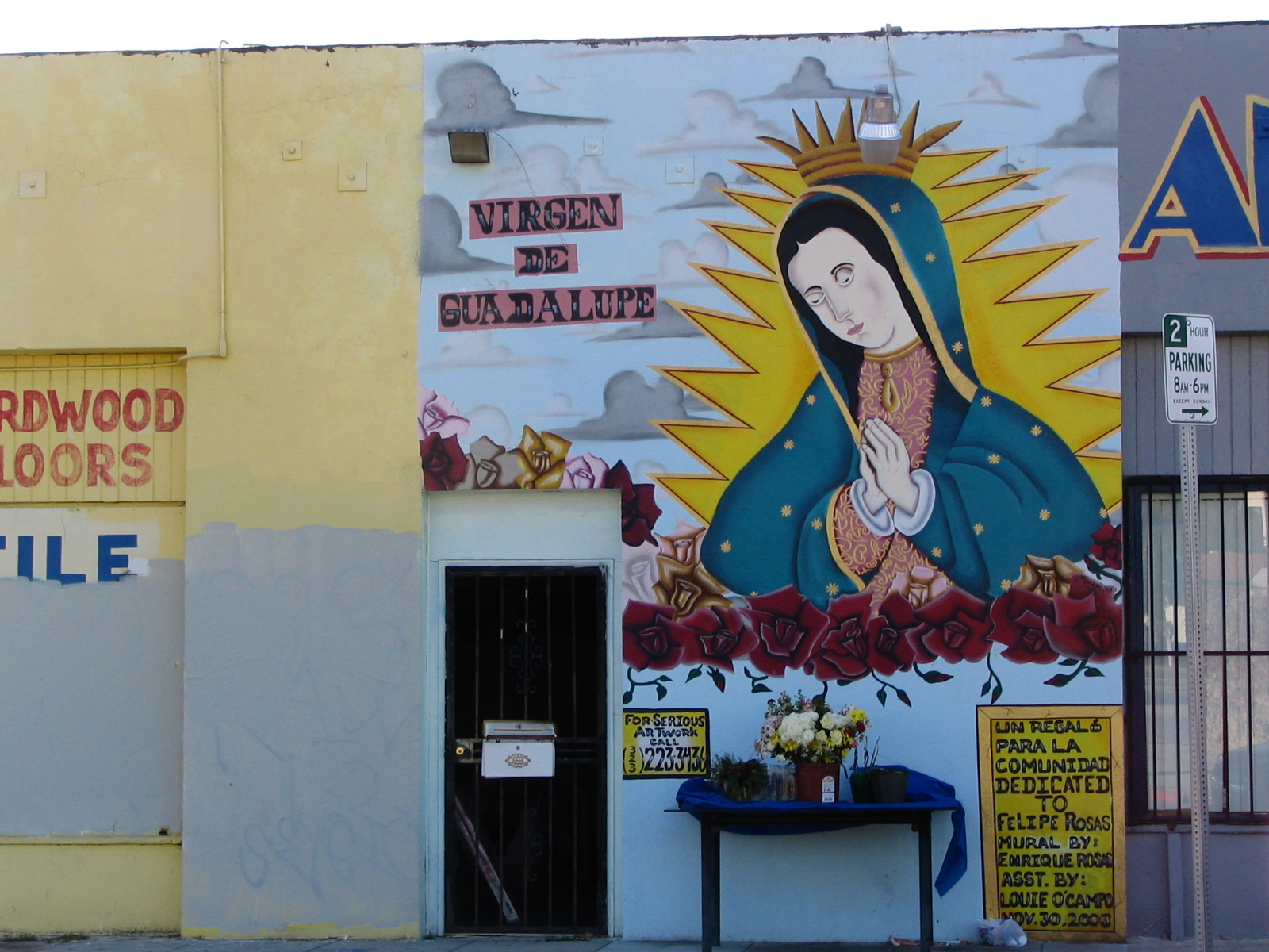
We passed through the complicated intersection where Mission Road and Soto Street merge to become Huntington Boulevard, and found ourselves in what is certainly the only bad neighborhood along that very wide street that takes you past Santa Anita and into the remotest burbs of the San Gabriel Valley. (It’s a good way to drive, by the way. I’ve never seen it very crowded, traffic moves well.) This is one of those places where there are parallel roads, both named the same thing. South Huntington is a rundown, crowded place, and just to the south of that are steep hills … which are also rundown, though not crowded. Dirt roads lead up to these places. Wouldn’t want to drive some of these streets in the rain. Down in the valley, we encountered several groups of drunken people. This was Sunday, and they all seemed to be in the make-merry-we’re-all-friends kind of drunk, but I knew it could turn into a what-da-fuck-YOU-lookin’-at? sort of drunk in no time at all. We were glad to put that stretch of road behind us.
Later, back in the car, I wanted to see some of these hidden places and what sort of views they had, and we quickly found ourselves on a couple of goat tracks with drop-offs so steep that Lee had to get out while I turned the car around. She can’t stand that sort of road [in a car – I have no trouble walking, though probably not along the edge].
Pondering the obsession we have about views … It doesn’t make sense, really, when you think about it, living in the hills. At least the roads never get icy here in LA, but in every other way it’s a massive inconvenience. The roads are so narrow in these hillside communities that somebody has to back up if two cars meet. There is no parking for anyone but residents, and not enough of that. It can be a fifteen minute drive—or even longer—to the nearest grocery store, hairpin turns all the way. And as if that wasn’t enough, in most of these places you can worry all summer long about the place burning down, and all winter long about it sliding down the hill in a sea of mud.
So why do we do it? I don’t exempt myself from this madness. I had a house on a hillside in Eugene, Oregon, and I loved it. I loved looking out over the lights. I loved the place even though I practically wrecked a car trying to get out of the driveway one day when it snowed. On one of my visits to Hollywood in the ‘80s MGM put me up in a vacant house they owned along the ridgeline of Mulholland Drive, looking out over the entire Los Angeles Basin. I sat out there by the gigantic pool most of the night, just looking at it. I felt like a king. I felt like I owned this town. And I guess that’s a big part of it. Kings built their castles on hills, on the high ground, the better to defend themselves, and to piss down upon their loyal subjects. Something in our minds wants to set ourselves above the masses, and living on a hill, for all its trouble, is the easiest way to do that.
Alhambra, South Pasadena
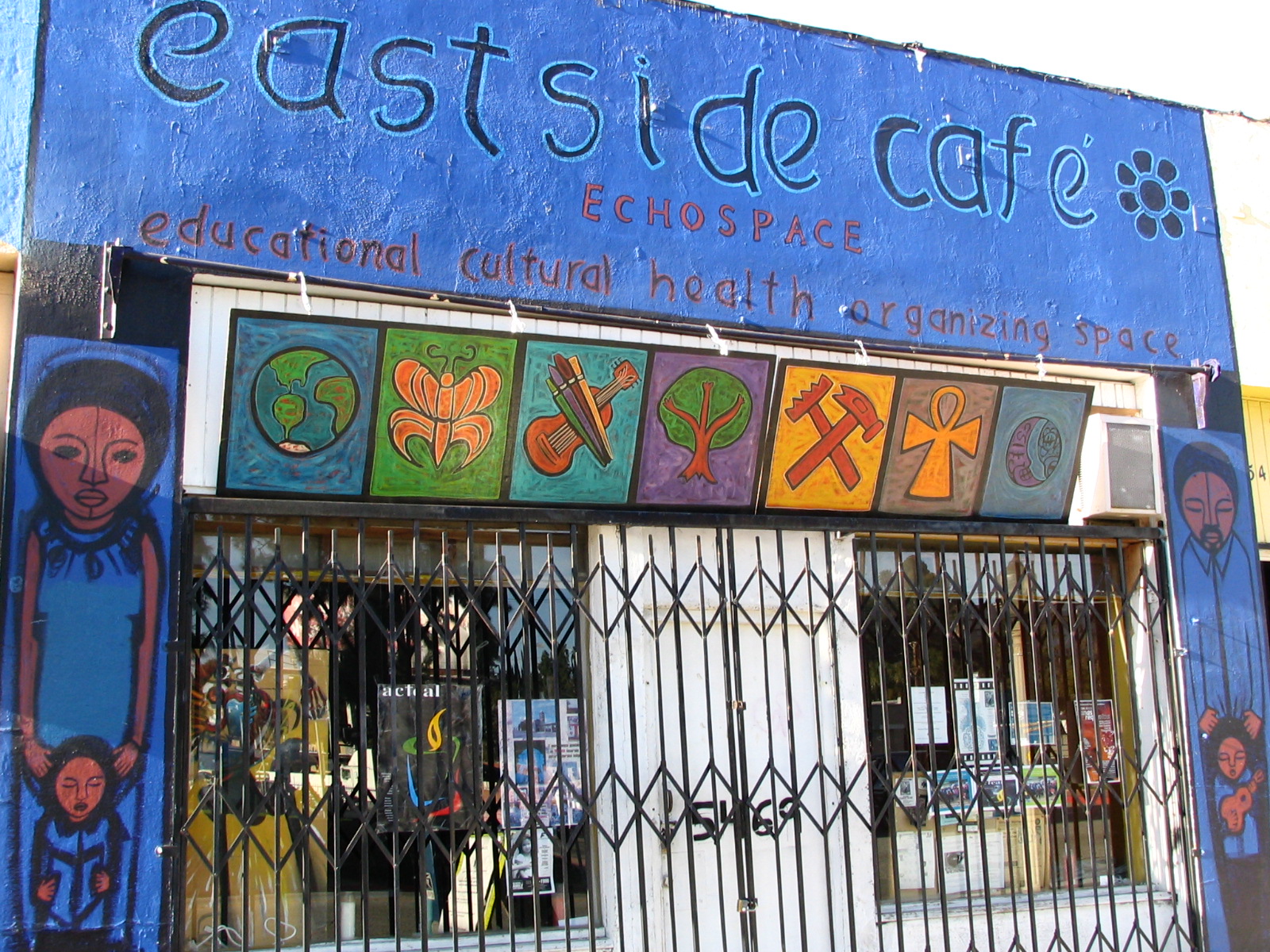
Next day we quickly entered the commercial part of Huntington. Though still almost all Hispanic, this part is much, much nicer. Just a few blocks can make such a difference. Here things were clean and well-maintained. There was a nice library branch, a lot of little storefront churches, a community garden almost ready for this year’s planting. There was a sense of community we didn’t get on yesterday’s walk. We ate at a place called El Taquito. Like King Taco on an earlier walk, this was a sort of Mexican version of Taco Bell. (You didn’t think Taco Bell was Mexican food, did you?) You ordered at a counter, and much on the menu was mysterious to us, as it was all in Spanish. The food was good, though.


Soon we were in Alhambra … or going along the edge of the city limits, anyway. This is where that evil bastard Phil Spector maintains his castle. Maybe we’ll drive by and take a picture and cast a curse his way later on.
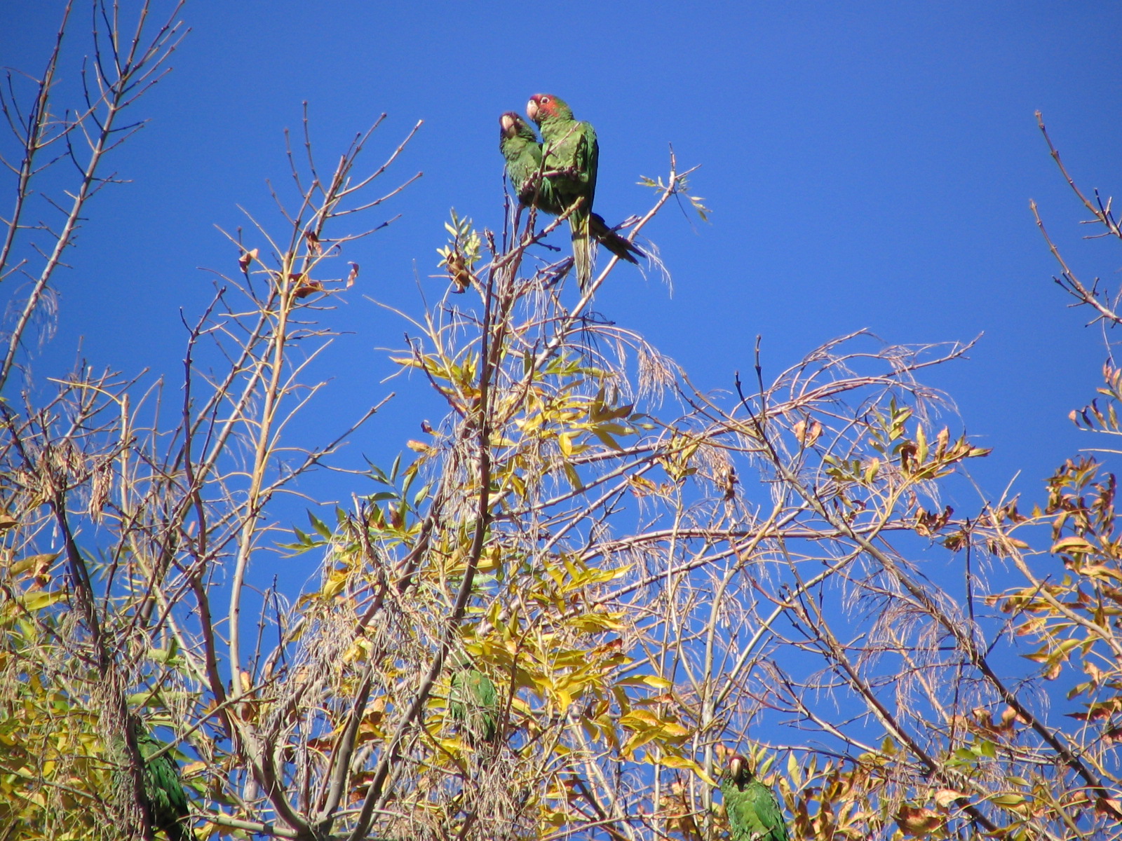
Then almost before we knew it we were in South Pasadena, and almost instantly the housing market zoomed up. From $500,000 homes, we were suddenly walking by a lot of million-dollar ones. And very quickly we encountered one of those things that make all the walking, all the aching feet and back and knees, worth it. Ahead of us a tall tree was full of large birds. We couldn’t tell much about them, silhouetted against the bright sky. They were crow-sized, but their profiles wasn’t saying “crow!” to me. And they were noisy, very noisy, but likewise, they didn’t sound like crows. When we got a little closer it was as we’d suspected: It was parrots. These were the wild parrots of the San Gabriel Valley, most probably red-crowned parrots (Amazona viridigenalis), though that “Amazona” name is a bit mysterious to me, as their natural range is northern Mexico. I estimated there were about 100 of them. I understand they can sometimes gather in flocks of up to 1000. I’d like to see that! They’re listed as endangered, but they sure seem to be thriving here. We just stood and gawked at them for a while, and watched them flying back and forth between one tree where they were perched (usually in pairs) and a palm tree next to it. I’ve heard that the wild parrots of San Francisco make their nests in palm trees, but I couldn’t tell if these were doing that.
Later, we realized we’d been really lucky. When we came back past the place (Lee on foot, me on the bus) there were only a few birds still there, and when we passed by in the car a third time, half an hour later, they were all gone, flown off who-knows-where. You can bet we’re keeping our eyes peeled on our later walks to the east. Never can tell when they might turn up again.
San Gabriel, Pasadena
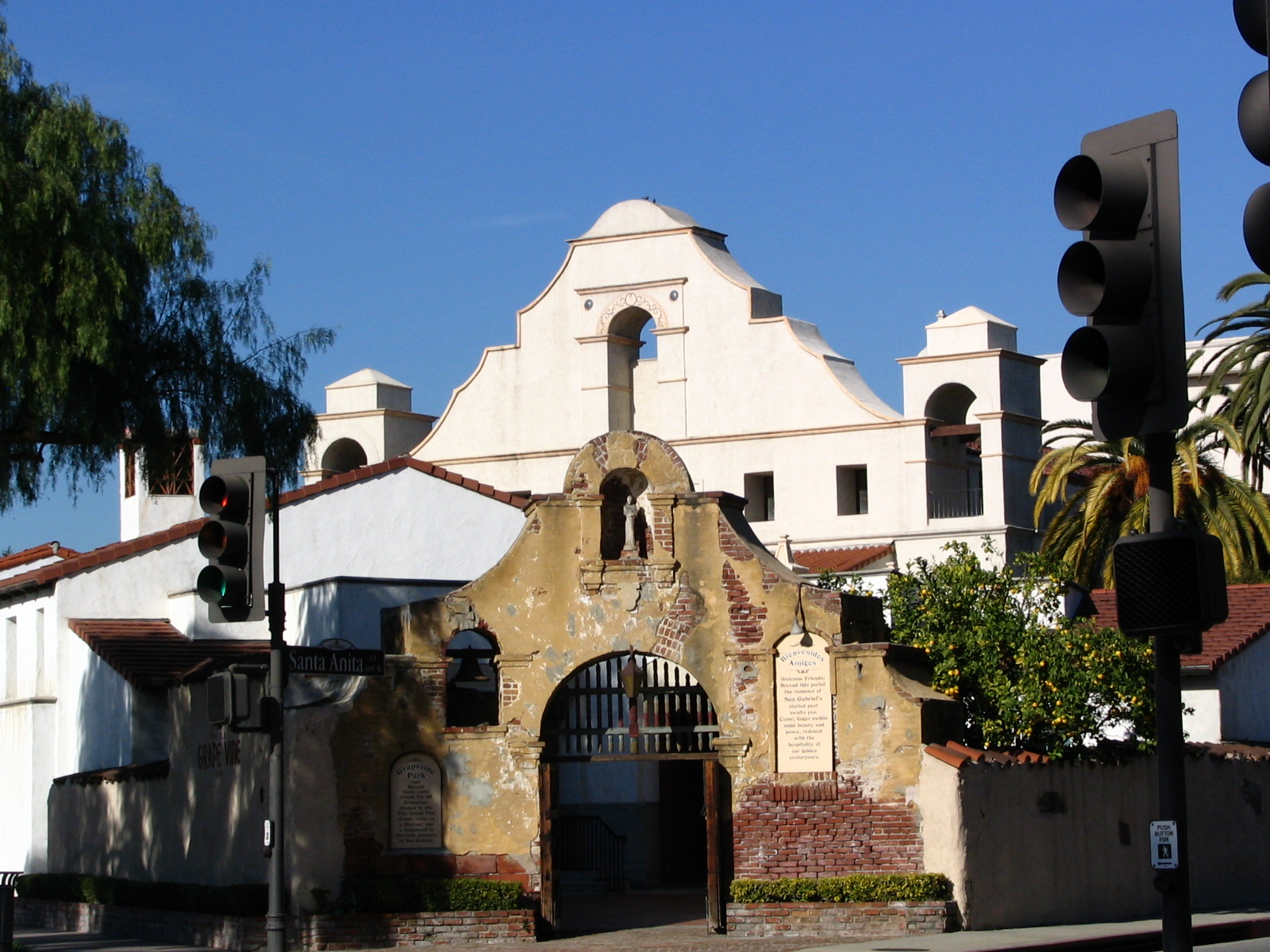
Technically, San Gabriel isn’t on Route 66, but we’ve been rearranging and cleaning our vast collection of souvenir refrigerator magnets from all the places we’ve been and had an accident that broke several of our treasured California Mission magnets pretty badly. They needed replacing, and since Mission San Gabriel is just a few miles out of our way, we decided to go to the gift shop there.
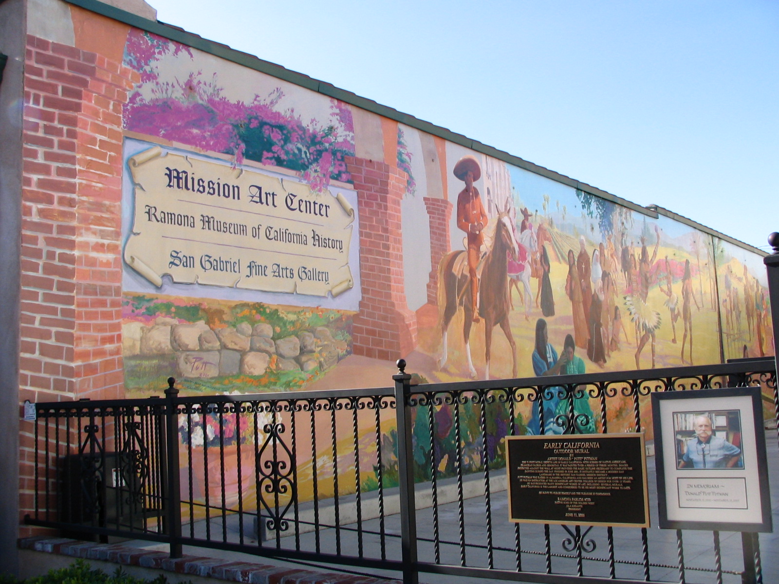
We’ve been to all 21 Alta California Missions. They vary from not really there at all (Santa Cruz) or a sad remnant (Soledad) to being vital, working parts of their community, like this one. It dates back to 1771, and parts of the original church are still standing. It has a nice little museum in the center. All in all, I’d put it in the top third of these places. We got our magnets and headed back to the car … and I said I’d keep my eyes peeled? It paid off a lot sooner than I’d expected. Up in the palm trees I spotted several dozen bright green birds eating the yellow fruits (dates?) hanging up there. No, these weren’t more red-crowned parrots, but canary-winged parakeets, which are actually just small parrots. (What we Americans call parakeets are actually budgerigars—budgies—a different sort of bird altogether.)

How do I know all this stuff? Because our neighbor, Mrs. Grigorian, who speaks almost no English, found one with a dislocated wing hopping around on the ground a few months ago. She couldn’t keep it, and we couldn’t bring ourselves to dump it, so we took it to the bird rescue place in Topanga Canyon … only to be told that it was an “exotic,” and they only rescued native birds. Makes sense, I guess (though all birds that get blown into a new environment are exotics when they arrive, to see if they can fit in or perish; it’s called evolution), but now we were stuck with a very bad-tempered bird that liked to squawk all morning long. We made the best of it, named him (or her? who knows?) Byrd, and spoiled him rotten with sunflowers, which he demolished in a very messy way. Finally we found him a new home, and he now resides with another neighbor who doesn’t mind the squawking because she is almost deaf, and she loves him, so everybody’s happy!
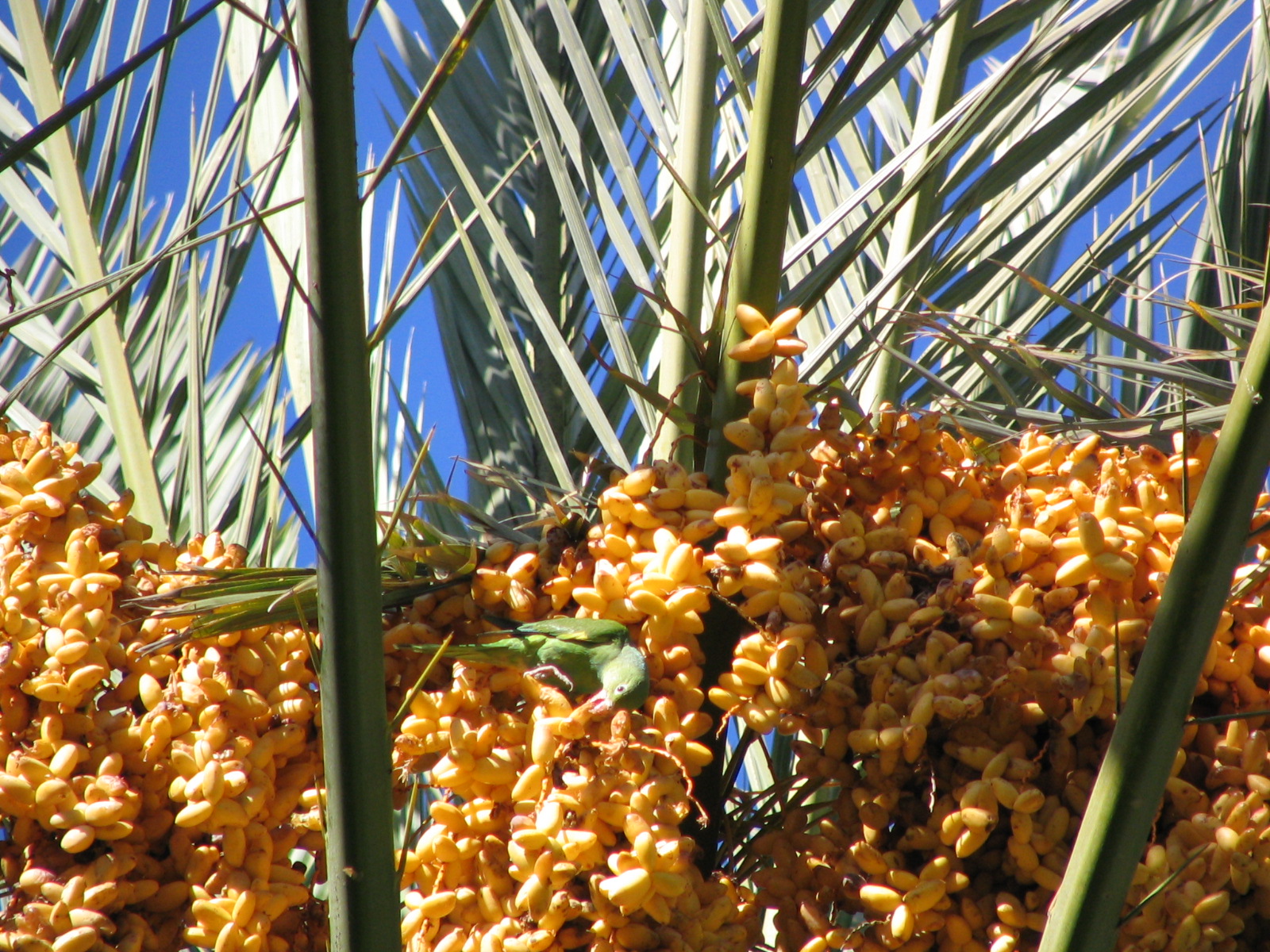
During the time we had him there was debate among various bird authorities as to whether he was wild or an escaped pet. Most seemed to believe he was the latter, but having seen these wild ones at the mission, I disagree. I think the poor guy just strayed him his flock in the valley and injured his wing. Now he can’t rejoin them, but seems to be doing well. They’re called “canary-winged,” by the way, because of a yellow patch under the wing that is almost invisible until they fly. Otherwise, they’re all green. Lee tried hard, but didn’t get any very good pictures of them. They were too small, too far away, and too active. We’ll post the best one here, and a link.
Back on Route 66 … today’s walk would take us from South Pasadena along Fair Oaks Boulevard and up to Colorado Boulevard in Pasadena, where we finished the north Route 66 branch, a distance of about 3 miles, a bit long for my limited endurance. Even worse, it was almost all uphill. Not very steep, I’ll grant you, but I’ve found that even the slightest slope greatly aggravates the arthritis in my hips, whereas a gentle downslope makes things much easier. So we decided to tackle this part of the walk in reverse, north to south. Why not? We parked by Pasadena’s Central Park, and headed out.
It was a fairly uninteresting stretch of road for walkers. There were quite a few upscale restaurants, mostly nearly hidden from the road and with signs that are hard to find. Obscurity is a plus in that business; if you don’t know where and what we are, we don’t want your business. We passed the largest facial spa I’d ever seen. They sold botox, which I know about, and Restylane, which I hadn’t heard of. Turns out it’s like collagen injections, and has only recently been approved for use in the US.
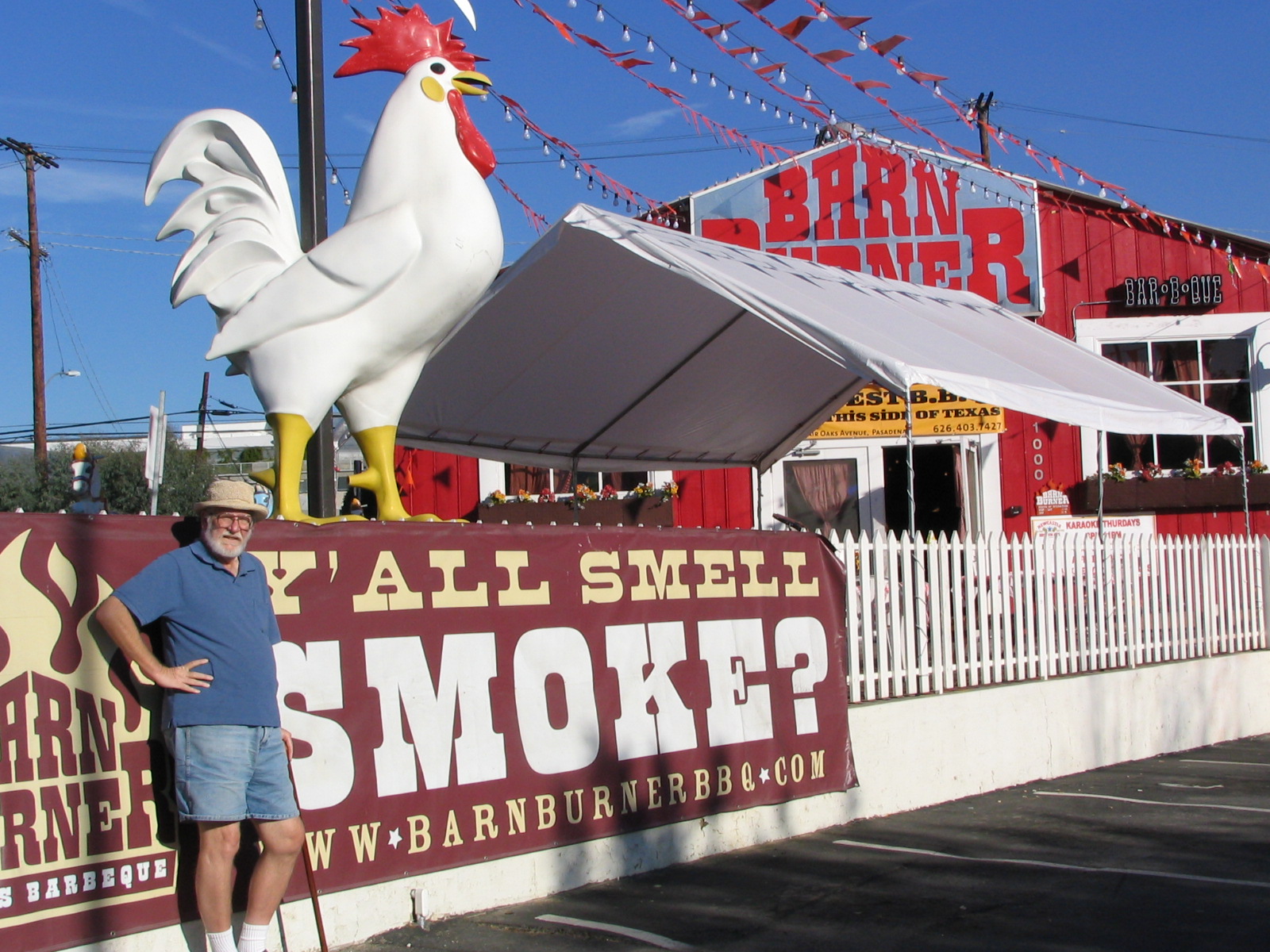
It was time for lunch, and we were coming to the Barn Burner Texas Barbeque, which we hadn’t tried yet. Inside it’s nicely done, some clever decorating, peanut shells all over the floor. The meat was no more than okay, though. It was Texas barbeque for people who’ve never been to Texas. The best place in Los Angeles for the real stuff is still BBQ King at Figueroa and Sunset. Closer by is Gus’s, about a mile south on Fair Oaks (but call first; it was closed for renovation last time we drove past). Or better yet, go to the County Line in Austin or San Antonio. Yeah, I know it’s 1350 miles from LA, but it’s worth the drive, believe me.
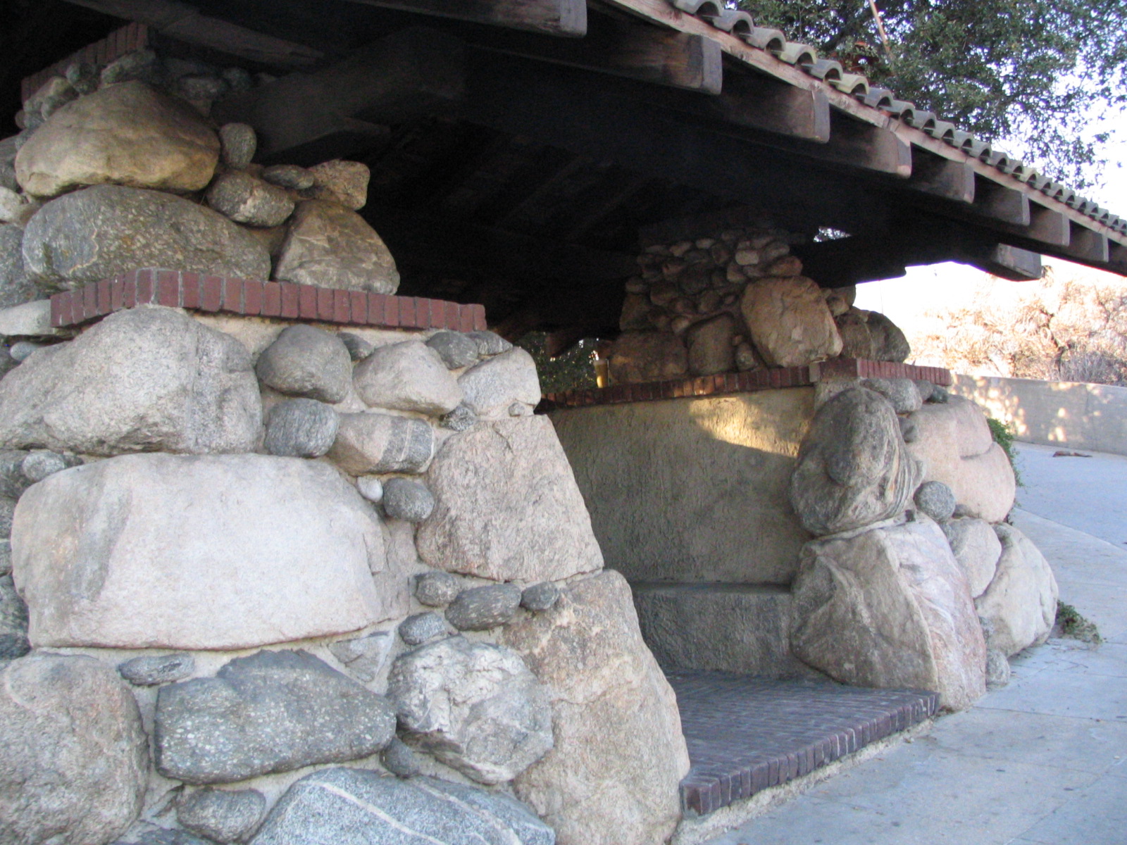
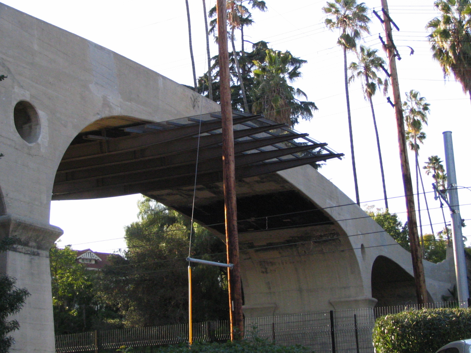
Back into South Pasadena, and we came to the War Memorial Building, which had a very pretty pedestrian bridge over the Gold Line tracks. Inside, a bunch of little girls were learning to tap dance. They weren’t bad, actually. And on the corner was the kind of bus stop every city should have, at every stop. I mean, why not? Would that be a waste of your tax dollars, to provide lovely, sturdy shelter to keep bus riders out of the elements? I believe a lot more people might ride if amenities like this were provided.

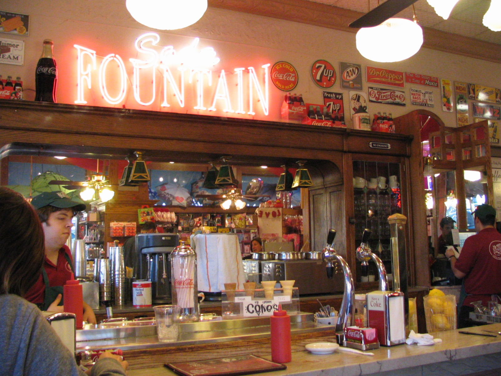
A bit farther along was the Fair Oaks Pharmacy, a lovely little throwback with a real soda fountain and an amazing selection of souvenir and gift kitsch. Then the old Rialto Theater, which looks like it must have been a real palace in its day. Looking pretty rundown now, but they still seem to be having community events in there.
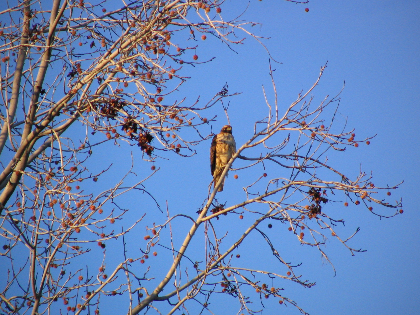
Getting near the end, footsore, getting a bit chilly … and still keeping my eyes peeled. Spotted a big bird up in a tree, again it was hard to see just what it was. At first I thought it was a great horned owl, like we used to hear on Sauvie Island. Turned out it was a hawk of some kind, probably red-tailed. Though the evening light in Lee’s pictures make it look sort of yellowish, I think it was really white-breasted. Beautiful animal. I love raptors.
Stick around! Next stop: The Fabulous Pasadena Doo-Dah Parade!!!
January 21, 2008
© 2008 by John Varley; all rights reserved